Tucson Monsoon Weather – 10/25/18

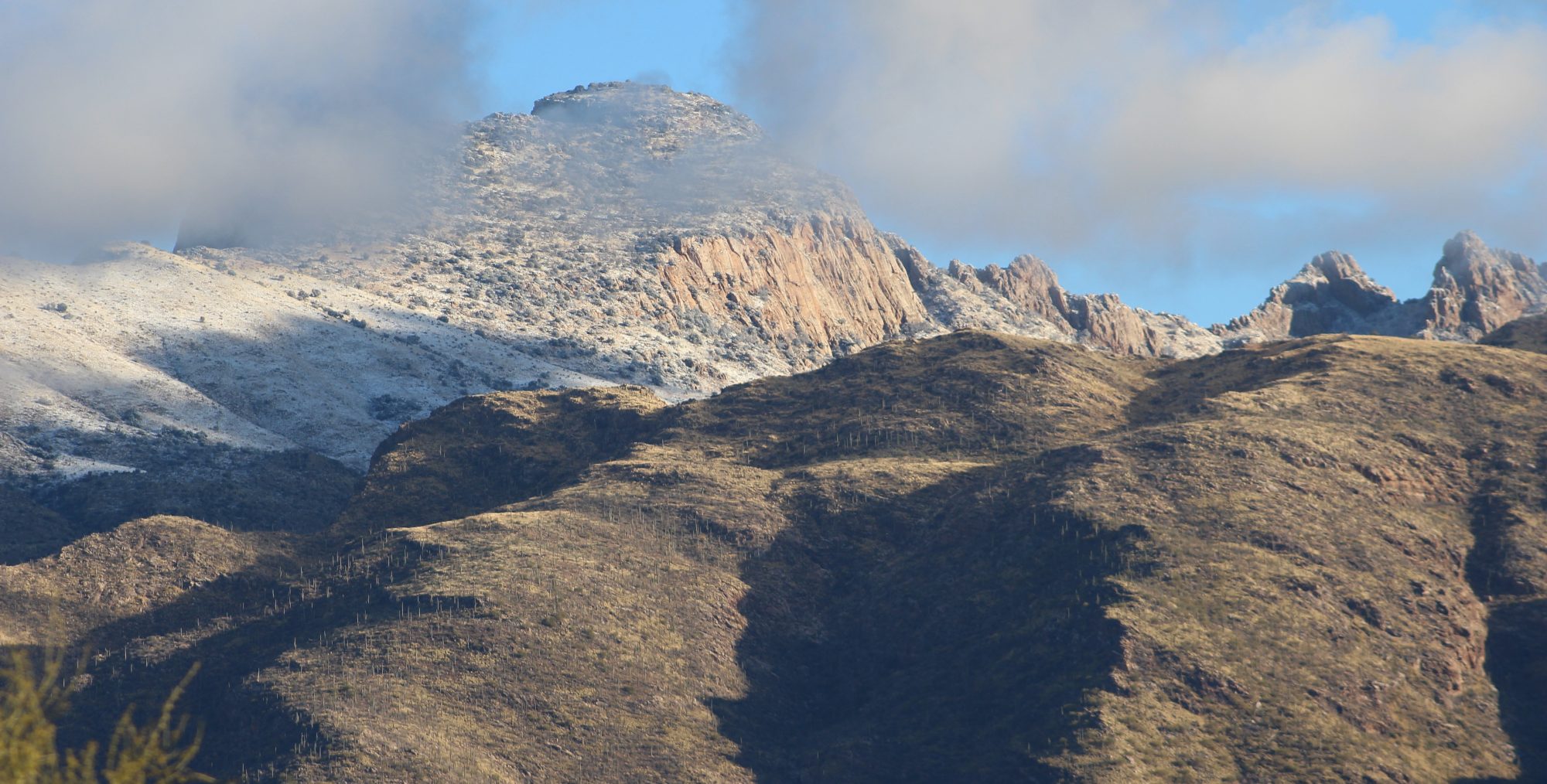
We’ve been getting a lot of rain lately in Tucson.  Not sure if it’s a late Monsoon or early winter rains (or hurricane rain).  Two days ago we had rain nearly all day.  You can see all the lightning strikes in the plot below.  As normal, at the scale I use, the intersection of the humidity and temperature lines signify rain and the “pointy” luminescence fills signify cloud coverage.

lightning_sensor_data_plot-week

Tucson post-Monsoon weather – October is here! – 8/11/18

October is the month that Tucsonans live for, because it is when we finally see hope that our wonderful winter weather is coming.  In the one month chart here you can see the hot, consistent pattern of September get interrupted (in this case by the remnants of a hurricane).  This must have been the trigger, because the patterns got all confused and the result is our nice, low morning temperatures.  Humidity is still swinging wildly, but the highs are lower every day (along with the temperature.  The luminescence sensors are also telling a story of cloud cover (see the jagged peaks and compare to the smooth hills of September).

lightning_sensor_data_plot-month

Tucson Monsoon Weather – Hurricane rain pattern – 10-5-18

You can look at the timeframe from 10/1 to 10/3 to see how the remnants of a late season hurricane passing through the desert can disrupt a stable non-monsoon weather pattern.

From about 9/27 to 10/1, we see the typical non-monsoon cycle recover after the 9/19 monsoon event.  The hurricane event on 10/1 throws this pattern into disarray and it still hasn’t recovered.  Note the difference in the luminosity data, temperature, and pressure.

lightning_sensor_data_plot-month